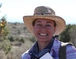
Dr. Meg Watters
Dr. Meg Watters specializes in 3D visualization of remotely sensed and excavated data for a new perspective on non-invasive modeling and analysis of archaeological sites. She focuses on archaeological landscape visualization and development of technological applications to help solve archaeological problems and for site preservation and planning. While most of her work is with remote sensing applications in archaeology, Meg has worked with a number of television productions including National Geographic, Discovery Channel, PBS, and the BBC. Meg has participated in archaeological research around the world including the Mediterranean, Morocco, Egypt, Sudan, the UK, Spain, Peru, Mexico, and the USA.